Science Dictionary
Do you know what a meteor is, or what scientists mean when they are talking about cryogenics? Our collection of science terms explains the meaning of some of the most common scientific ideas.

10 Scientific Words You're Probably Using Wrong
Can a planet float on water?

Can You Nominate Yourself for a Nobel Prize?

How Do You Win a Nobel Prize?

What Are the Masons?

Quiz: How Much Do You Know About Stephen Hawking?
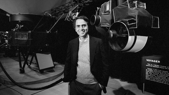
10 Cool Things About Carl Sagan
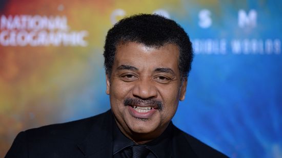
10 Cool Things About Neil deGrasse Tyson

How do polymer crystals work and why do they absorb so much water?

Is a Karat the Same as a Carat?
4 Quantum Physics Misconceptions, Busted

Chaos Is Not Randomness: A Complex Systems Scientist Explains
Learn More

The kilometer (km) is a standard unit of measurement used in the metric system. Derived from the French "kilomètre," the unit is used to measure length and distance along a straight path.
By Mitch Ryan

In any scientific research, there are typically two variables of interest: independent variables and dependent variables. In forming the backbone of scientific experiments, they help scientists understand relationships, predict outcomes and, in general, make sense of the factors that they're investigating.
By Marie Look

Physicist and cosmologist Stephen Hawking was a fierce spirit who symbolized the foibles and complexities inherent in human nature. Learn more about him by taking our quiz.
Advertisement

The world often seems chaotic and events appear to occur randomly, but what's the difference between chaos and randomness?

You've heard of the big bang, of course, but do you have any idea as to what was happening during that massive flurry of activity billions of years ago?
By Robert Lamb
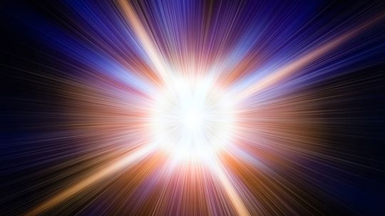
So much of our cosmological history starts with the much-discussed Big Bang, but what led up to that cataclysmic moment? And did time even exist back then?
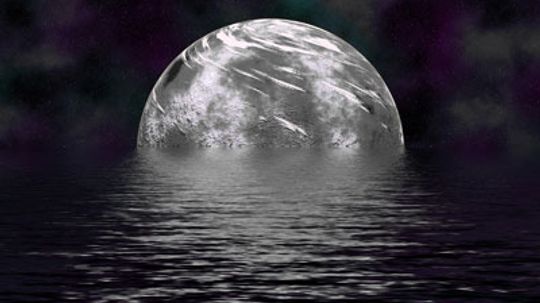
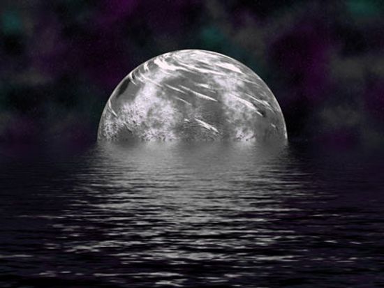
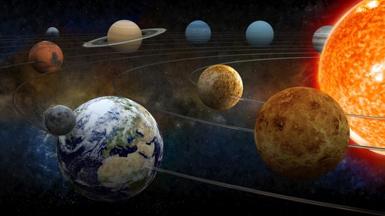
Scientists announced the discovery of the largest known planet in the universe. TrES-4 has a density similar to balsa wood, and some say this gas giant could float on water. Learn why this planet is so puzzling and how planet hunters make amazing discoveries like these.
Advertisement
While routinely scanning the stars, NASA scientists came across something they didn't expect to see: a vast area of space empty of stars, planets and matter.
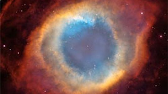
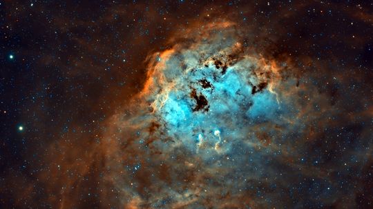
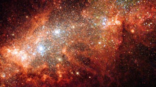
Nebulae are collections of dust and gases scattered across the galaxy. They're the sites where stars are born and what's left behind after they die.

The big bang theory is well-known, but there are many misconceptions about it. Like what? Let's start with this one: There was no bang.

Payne-Gaposchkin, Cecilia Helena (1900-1979) was a British-born astronomer who became an authority on variable stars (stars that change in brightness) and the structure of the Milky Way Galaxy.
Advertisement
Al-Tusi, Nasir al-Din (1201-1274) was one of the greatest scholars of his time and one of the most influential figures in Islamic intellectual history.
Aberration of Light is a phenomenon in which a star or other celestial body, as viewed from the earth, appears to be slightly displaced from its true position.
Chronometer, a timepiece that is exceptionally accurate. Traditionally, the term refers to the marine chronometer, a rugged mechanical instrument used at sea to keep time for navigational purposes.
Cosmogony, the study of the origin and development of the universe as a whole and of the individual bodies that compose it.
Advertisement
Hourglass, a device for measuring time. In its usual form it consists of two cone-shaped or oval glass receptacles joined by a narrow neck.
Midnight Sun, a name given the sun when it can be seen at midnight during the Arctic or Antarctic summer.
The nebular theory, also known as nebular hypothesis, presents one explanation of how the solar system was formed, proposed by Pierre Simon de Laplace in 1796.
By Yara Simón
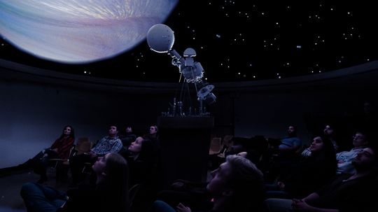
Planetarium, is an educational device for showing the locations and movements of the planets and other objects in the universe.
Advertisement
Planetesimal hypothesis is a theory of the origin of the solar system. It was proposed by Forrest R.
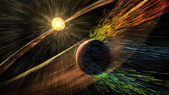
Solar wind is a continuous stream of mostly hydrogen and helium that flows outward from the sun in all directions. It does everything from disrupt GPS signals to create the aurora borealis.
By Mark Mancini
Van Allen Radiation Belts, two zones encircling the earth in which there are relatively large numbers of high-energy (fast-moving) charged particles.
By Yara Simón
Frequency has to do with wave speed and wavelength is a measurement of a wave's span. Learn how frequency and wavelength of light are related in this article.
Advertisement
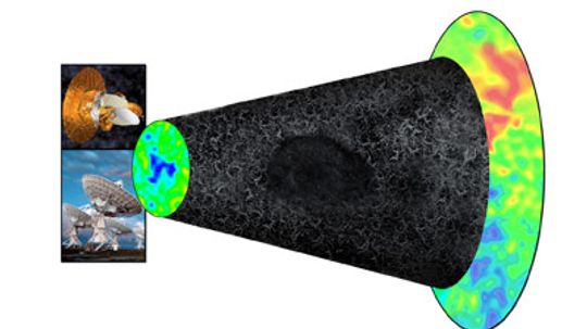
Every day, astronomers unravel a little more of the universe's inner workings, but the jury is still out on 95 percent of its contents.
By Robert Lamb
Berg, Paul (1926-), an American biochemist and molecular biologist, has been at the forefront of genetic engineering, both as an inventor of a pioneering procedure and as an advocate concerned about the risks of genetic research.