Destinations
Travel destinations are the stuff of daydreams and memories. Discover the many options available such as adventure travel, city guides and family vacations.


Learn More

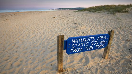
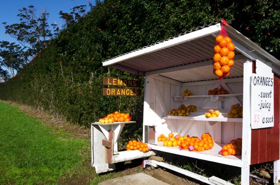
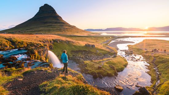
In a country known for its car culture, it's refreshing to find places where you can ditch the wheels and get around on foot.
By Wren Corvayne

Determining the safest countries in the world isn't just about avoiding pickpockets or locking your door. It's about political stability, low crime, peace, and public trust.
By Wren Corvayne
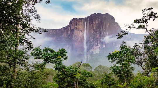
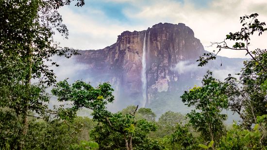
When most people think of the largest waterfall in the world, they imagine the biggest drop or the loudest roar. But there's more to waterfalls than meets the eye.
By Wren Corvayne
Advertisement

Canada is the second-largest country in the world by land area, and it’s home to some truly dynamic urban centers. We're breaking down the largest cities in Canada by population within city limits, spotlighting cultural highlights, geographic features and what makes each city unique.
By Wren Corvayne

Ever wondered where in the U.S. you're most likely to melt in your sneakers during the summer? We're counting down the hottest states in the U.S., based on their average annual temperature.
By Wren Corvayne
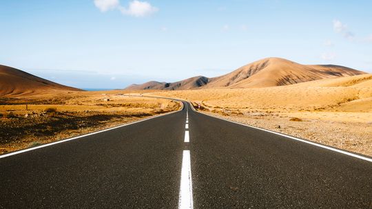
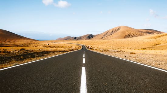
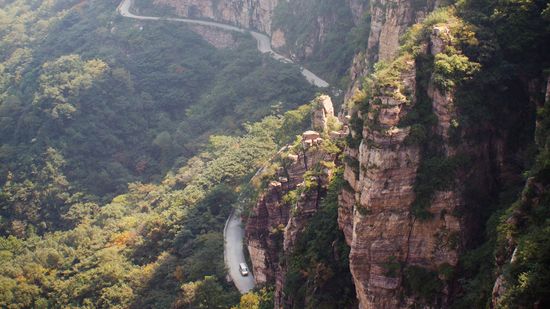
When it comes to truly epic road trips, the United States has a lot of asphalt to brag about. But which highways stretch the farthest from end to end? Buckle up — we’re counting down the longest road in the U.S. and its top competitors.
By Wren Corvayne

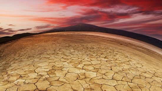
When people imagine a desert, they usually think of sand dunes and palm trees. But the driest place on Earth doesn’t look like a movie set. Instead, it features a strange, alien-like landscape, either bone-dry and rocky or snow-covered with no sign of liquid water.
By Grant Virellan
Advertisement

When you think of California, sunny beaches, sprawling vineyards, and star-studded cities probably come to mind. But beyond the palm trees and surfboards, several urban centers face significant safety challenges. So, what's the most dangerous city in California?
By Wren Corvayne

Think your cross-country flight is long? Imagine being airborne for over 18 hours.
By Wren Corvayne

Ever wondered about the biggest zoo in the U.S.? Well, buckle up, because it's about way more than just acreage and animal numbers.
By Wren Corvayne
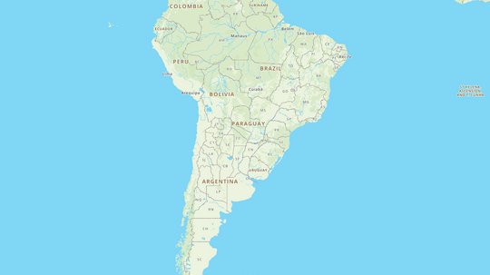
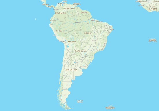
South America is a vast and diverse continent, offering a rich tapestry of landscapes, cultures, and ecosystems. As the fourth largest continent in the world, it stretches from the equator down to the icy fringes of Antarctica, encompassing a variety of geographic features, from towering mountains to expansive rainforests. Our South America map not only highlights its physical beauty but also its cultural diversity and historical significance.
By MapQuest Travel
Advertisement
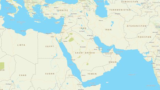
text here
By MapQuest Travel
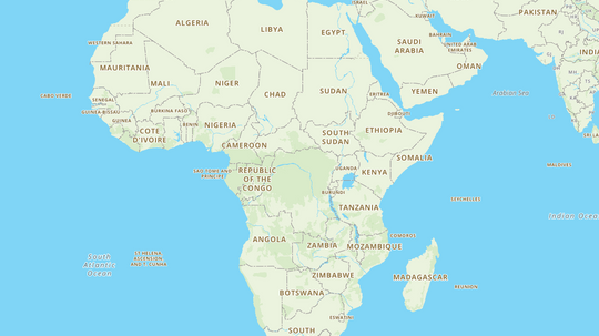
Welcome to the interactive Africa map. This map is designed to help you explore and learn more about the 54 countries that make up the African continent. Simply hover over any country to see its name pop up, making it easy to identify each nation as you navigate the map.
By MapQuest Travel

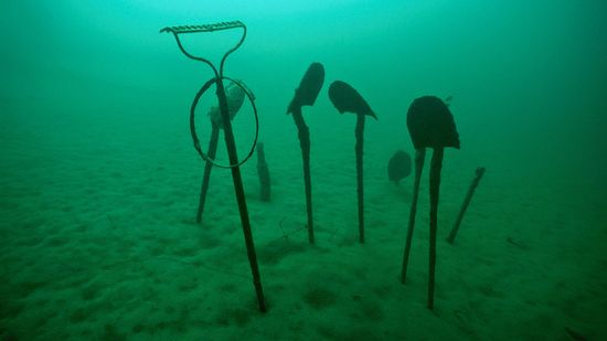
Discover Austin's Cathedral of Junk, a whimsical masterpiece of recycled treasures and creative genius.
By MapQuest Travel
Embark on an unforgettable Yacht Week. Explore exotic destinations, sail in style, and immerse in the world of luxury yachting.
By MapQuest Travel
Advertisement
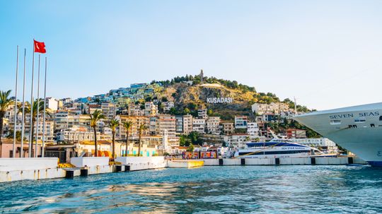
Explore Kusadasi's sun-kissed beaches, rich history, and vibrant culture on the beautiful Turkish Riviera.
By MapQuest Travel
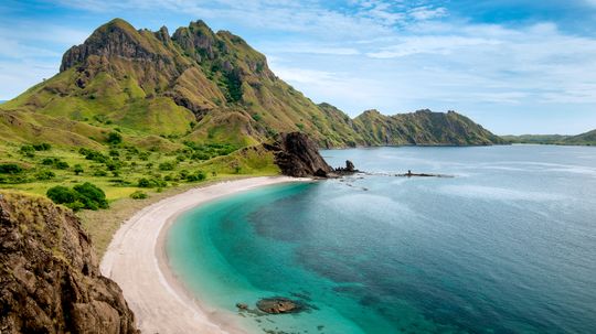
Explore Komodo Island's incredible biodiversity, famous Komodo dragons, and world-class diving spots in Indonesia.
By MapQuest Travel

Delve into Iceland's food scene. Discover traditional dishes, Nordic flavors, and culinary adventures in this vibrant island nation.
By MapQuest Travel
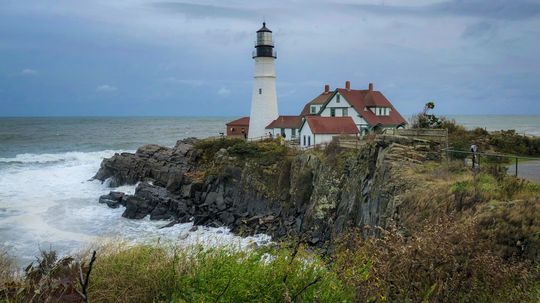
Discover the enchanting world of lighthouses in Maine. Explore their rich maritime history and iconic coastal beauty.
By MapQuest Travel
Advertisement
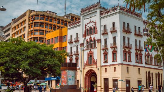
Planning a trip to Colombia? Learn about safety, local tips, and insights to ensure a secure and enjoyable visit.
By MapQuest Travel
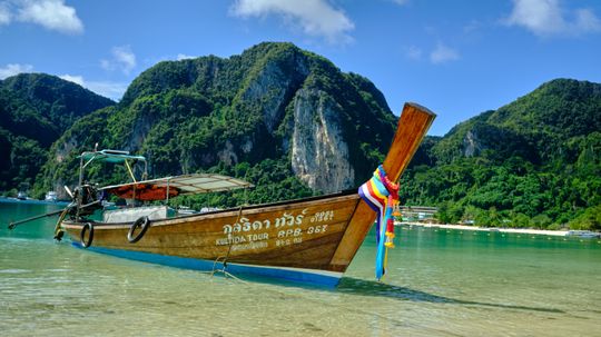
Explore Thailand's stunning beaches. Discover top destinations, crystal-clear waters, and idyllic tropical getaways.
By MapQuest Travel

Uncover the secrets of Rosslyn Chapel. Explore its intricate carvings, rich history, and ties to famous mysteries.
By MapQuest Travel
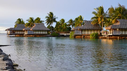
Escape to overwater bungalows in the Caribbean. Experience paradise with crystal-clear waters, vibrant marine life, and serenity.
By MapQuest Travel
Advertisement
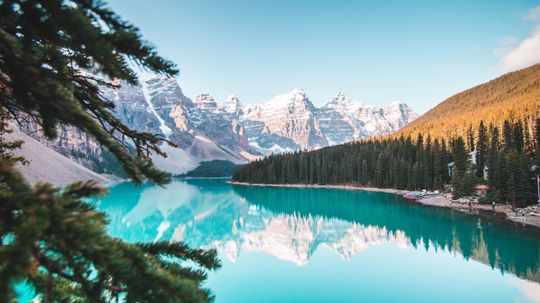
Explore Canada's national parks. Discover diverse ecosystems, iconic wildlife, and endless outdoor adventures.
By MapQuest Travel
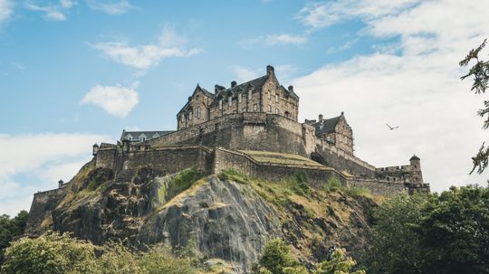
Discover the magic of castles in Scotland. Explore centuries-old history, captivating legends, and stunning architectural treasures.
By MapQuest Travel