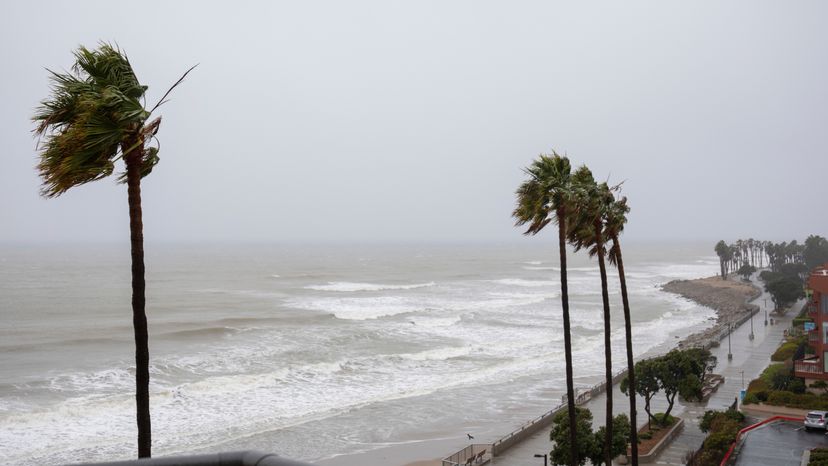
When thinking about hurricanes, our minds often drift to the Atlantic and Gulf Coasts, but California is curiously mostly unscathed by these powerful storms. The Golden State is spared from frequent hurricanes due to a combination of factors, including cold sea surface temperatures, upper-level steering winds, and dry, stable air. These conditions act as safeguards, preventing eastern Pacific tropical cyclones from reaching California’s shores and maintaining tropical storm strength.
However, when these customary conditions deteriorate, there’s a chance for a tropical storm to make landfall in California. This rare occurrence can lead to inland tropical storm warnings and pose a threat to the state’s residents and infrastructure.
In the next sections, we’ll explore the main factors that contribute to California’s unique hurricane situation.
Cold Sea Surface Temperatures
Cold water plays a crucial role in inhibiting hurricane formation near California, including the central Baja California and northern Baja California regions. As these tropical cyclones move north from the tropics, cold sea surface temperatures sap the storms of their strength, hindering the development of clouds and tropical thunderstorms. The tropical cyclone brought rain, but the cold water ultimately weakened the storm.
Imagine the warm ocean water as fuel for hurricanes, providing the necessary heat energy for their growth and intensification. The cold water along the California coast acts as a fire extinguisher, quelling the development of these storms before they can unleash their fury on the state. This barrier of cold water is one of the primary reasons why California is mostly protected from hurricanes.
Upper-Level Steering Winds
Another factor keeping California safe from hurricanes is the presence of upper-level steering winds, which blow from west to east and are particularly strong along the state’s coast. These winds can inhibit the development of tropical cyclones, curtailing their progress and preventing tropical storm force winds from reaching California. Think of these winds as an invisible shield, guiding storms away from the state.
For example, upper-level steering winds play a role in guiding storms approaching from western Mexico away from California, typically to the northwest. This helps protect areas like the San Francisco Bay Area from the impacts of tropical cyclones. In essence, these winds act as California’s guardian, ensuring that the state remains mostly unscathed by hurricanes.
Dry, Stable Air
Lastly, subtropical high pressure near northern and central California generates dry, stable air, which prevents the Pacific Ocean dropped rain from reaching the state. This dry, sinking air near the subtropical high pressure system in the Eastern Pacific can further inhibit hurricane development in California.
Dry, stable air hinders the development of tropical cyclones by creating unfavorable conditions for their formation and intensification. In a way, it’s like a protective blanket, keeping California safe from the potential wrath of hurricanes. With these three factors working in tandem, it’s no wonder that California is mostly shielded from the full force of these storms.
