The code named Kennan "Keyhole-class" (KH) reconnaissance satellites have been orbiting the Earth for more than 30 years. They are typically used to take overhead photos for military missions. The big question for a lot of people is: "What can they see?"
A KH-12 is a $1 billion satellite that resembles the Hubble Space Telescope, except it is looking at our planet. For security reasons, there are no published orbit schedules for the imagery spacecraft. They are supplemented by the 15-ton Lacrosse-class radar-imaging satellites.
Advertisement
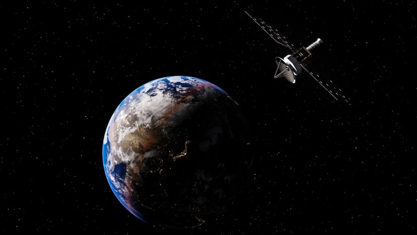
You can think of a KH satellite as a gigantic orbiting digital camera with an incredibly huge lens on it. Optical image reconnaissance satellites use a charge coupled device (CCD) to gather images that make up a digital photograph for transmission back to Earth from an altitude of about 200 miles. Since the satellites are in orbit, they cannot hover over a given area or provide real-time video of a single location.
The satellites are often placed into various secret orbits by NASA space shuttles or Titan 4 rockets and managed by the National Reconnaissance Office (NRO), headquartered in Chantilly, Va. Digital images from the satellites are analyzed, manipulated and combined by powerful computers at the National Geospatial-Intelligence Agency (NGA).
The black and white images are used by the military and civilian communities. Many of the details about this class of satellites remain classified, but it is known that there are several of these overhead at any given time. They have an imaging resolution of 5-6 inches, which means they can see something 5 inches or larger on the ground. These satellites probably can't read your house number, but they can tell whether there is a bike parked in your driveway.
Corona satellites, the first to do mapping of the Earth from space, had an imaging resolution of 6 feet. Those satellites were built by Lockheed Martin under contract to the CIA and the U.S. Air Force from 1960 to 1972 and were reportedly launched more than 100 times.
Mapping analysts can use satellite data to create 3-D images of land formations and structures on the ground. These images can then go to the negotiating table as countries try to end a war. Or, as in the case of the television show, the images can prove that the official word from a foreign government about some activity on the ground is not true. The same technology is also used to visualize potential escape routes for criminal activity. One was once reportedly used to observe the underbelly of an orbiting space shuttle for missing ceramic tiles, needed for re-entry.
In the United States, Vandenberg Air Force Base in California has been the primary site for the launch of many surveillance satellites during the Cold War and to the present. Some early satellites had capsules aboard to return film canisters to the Earth. The canisters were snatched in the air by Air Force crews over the Pacific Ocean. Since 1958 the special satellites were made by Lockheed Martin, and more recently Boeing has the contract with the National Reconnaissance Office.
Here are some interesting links:
Advertisement