What's the Biggest State in the U.S.A.?

By: Sharise Cunningham  | 
mainland United States
This composite image of the United States at night was assembled from data using NASA's Suomi NPP satellite's Visible Infrared Imaging Radiometer Suite (VIIRS), which detects light in a range of wavelengths. NASA Goddard

Key Takeaways

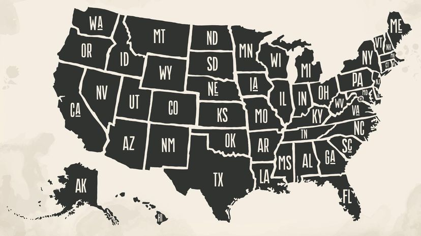
  • Alaska is the largest state in the U.S. by land area at 665,384 square miles (1,723,337 square kilometers) and is the least densely populated.
  • Texas is the second largest state with an area of 268,596 square miles (695,662 square kilometers).
  • California ranks as the third largest state by area (163,696 square miles or 423,970 square kilometers) and largest by population.

When trying to determine the biggest state in the U.S.A., you can look at it a few different ways, including population (the number of people living in a state or area) or population density (how many people live within a square mile versus a similar area in another state or area).

Here, we rank state size by land area — how big each state is itself — according to the U.S. Census bureau, and not by population or demographics. But first, let's talk a bit about the United States as a whole.

Advertisement

Advertisement

The U.S. Is the Third Largest Country

The United States is generally considered the third largest country in the world, behind Russia and Canada. Including the 48 contiguous states (lower 48), the District of Columbia (Washington, D.C.), Alaska and the archipelago of Hawaii, the entire United States has a total area of 3.8 million square miles (9.8 million square kilometers). Of that, approximately 3.5 million square miles (5.7 square kilometers) is land mass, while the remainder is water.

We should note, however, that other sources like World Population Review and Worldometer list China as slightly larger than the U.S. in both land area and total area (land plus water), which would make the U.S. the fourth biggest country.

Advertisement

Now, let's talk about the largest states by total square miles, including land area and water area, in the U.S.

5 Biggest States

mainland Alaska
An astronaut captured this shot of mainland Alaska from the International Space Station (ISS) on a clear spring day in 2019. It gives you an idea of the sheer scope of the state's size. NASA/JSC
  1. Alaska (665,384 sq. mi.)
  2. Texas (268,596 sq. mi.)
  3. California (163,696 sq. mi.)
  4. Montana (147,040 sq. mi.)
  5. New Mexico (121,590 sq. mi.)

Alaska

Alaska is the largest state by land area by far, but it's also the least densely populated according to the 2020 census. Its 665,384 square miles is nearly 86 percent land. But the remaining 94,743 square miles of water means Alaska accounts for more than 40 percent of the United States' total water area.

Texas

Texas is the second largest state overall of the lower 48 states. Fun fact: The town of Saxet, Texas, is a palindrome. That means it can be read the same backward and forward.

Advertisement

California

The third largest state has the largest population. With 282 state parks, it also has the most of any state in the U.S. It enjoys cooler temps along the Pacific Ocean coastline, yet the hottest temperature on Earth was recorded at Furnace Creek Ranch in Death Valley in 1913.

Montana

Custer's Last Stand, the famous 1876 battle, took place in Montana along the Little Bighorn River after the U.S. Army came to force Native Americans off their land and onto reservations.

New Mexico

Don't tell Texas but cattle and sheep outnumber the human population in New Mexico. It's also home to the oldest capital city in the country, Santa Fe.

Advertisement

5 Smallest States

  1. Rhode Island (1,545 sq. mi.)
  2. Delaware (2,489 sq. mi.)
  3. Connecticut (5,543 sq. mi.)
  4. New Jersey (8,723 sq. mi.)
  5. New Hampshire (9,349 sq. mi.)

Rhode Island

Rhode Island is home to both the oldest operating tavern in the U.S. (built in 1673) and the highest percentage of Catholics in the nation (as of 2017). For its small size, it has a large population of almost 1.1 million people, according to 2020 census.

Rhode Island
It's hard to even find teeny tiny Rhode Island on a map. Its total land area is just barely 1,500 square miles.
SevenMaps/Shutterstock

Delaware

Delaware was the first state to join the Union in 1787. Its elevation is just 60 feet above sea level, and it's only 35 miles wide at its widest point and 9 miles wide at the narrowest point.

Advertisement

Connecticut

The third smallest state in the U.S. is home to several big firsts, including the nation's first speed limit in 1901 (12 miles per hour or 19 kilometers per hour), the first statehouse (1788) and the first public art museum (1842). Connecticut is also home to Yale University, which issued the first medical degree in the U.S. in 1729.

New Jersey

My funny home state has more diners and shopping malls than any other state in the U.S. But, you can't pump your own gas to get to any of them.

New Hampshire

New Hampshire is one of the original 13 colonies, and in January 1776, it was the first settlement to establish both a constitution and an independent government separate from England.

Advertisement

All 50 States by Land Area

map of the United States
Texas is the biggest of the 48 contiguous 48 states, but Alaska is the largest state in the entire country. Foxys Graphic/Shutterstock

Here's the list including every U.S. state, ranked and rounded from largest to smallest, based on total land area in square miles according to the U.S. Census bureau.

  1. Alaska: 665,384 sq. mi.
  2. Texas: 268,596 sq. mi.
  3. California: 163,695 sq. mi.
  4. Montana: 147,040 sq. mi.
  5. New Mexico: 121,590 sq. mi.
  6. Arizona: 113,594 sq. mi.
  7. Nevada: 109,781 sq. mi.
  8. Colorado: 104,094 sq. mi.
  9. Oregon: 98,379 sq. mi.
  10. Wyoming: 97,813 sq. mi.
  11. Michigan: 96,714 sq. mi.
  12. Minnesota: 86,936 sq. mi.
  13. Utah: 84,897 sq. mi.
  14. Idaho: 83,569 sq. mi.
  15. Kansas: 82,278 sq. mi.
  16. Nebraska: 77,348 sq. mi.
  17. South Dakota: 77,116 sq. mi.
  18. North Dakota: 70,698 sq. mi.
  19. Oklahoma: 69,899 sq. mi.
  20. Washington: 71,298 sq. mi.
  21. Missouri: 69,707 sq. mi.
  22. Florida: 65,758 sq. mi.
  23. Wisconsin: 65,496 sq. mi.
  24. Georgia: 59,425 sq. mi.
  25. Illinois: 57,914 sq. mi.
  26. Iowa: 56,273 sq. mi.
  27. New York: 54,555 sq. mi.
  28. North Carolina: 53,819 sq. mi.
  29. Arkansas: 53,179 sq. mi.
  30. Alabama: 52,420 sq. mi.
  31. Louisiana: 52,378 sq. mi.
  32. Mississippi: 48,432 sq. mi.
  33. Pennsylvania: 46,054 sq. mi.
  34. Ohio: 44,826 sq. mi.
  35. Virginia: 42,775 sq. mi.
  36. Tennessee: 42,144 sq. mi.
  37. Kentucky: 40,408 sq. mi.
  38. Indiana: 36,420 sq. mi.
  39. Maine: 35,380 sq. mi.
  40. South Carolina: 32,020 sq. mi.
  41. West Virginia 24,230 sq. mi.
  42. Maryland: 12,406 sq. mi.
  43. Hawaii: 10,932 sq. mi.
  44. Massachusetts: 10,554 sq. mi.
  45. Vermont: 9,616 sq. mi.
  46. New Hampshire: 9,349 sq. mi.
  47. New Jersey: 8,723 sq. mi.
  48. Connecticut: 5,543 sq. mi.
  49. Delaware: 2,489 sq. mi.
  50. Rhode Island: 1,545 sq. mi.

Advertisement

Frequently Asked Questions

If Alaska was its own country, would it be one of the largest?
Alaska's vast land area makes it larger than many countries, standing out as the 17th largest country-sized entity in the world if it were considered independently.
What's the impact of Alaska's size on its climate diversity?
Alaska's massive size contributes to its diverse climate, ranging from the cold Arctic to the more temperate southeastern coast.

Advertisement

Loading...