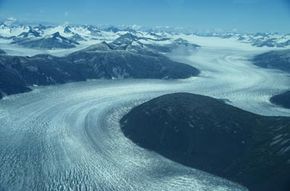
The main ice-covered landmass on Earth is Antarctica at the South Pole, with about 90 percent of the world's ice (and 70 percent of its freshwater). The continent of Antarctica is covered with ice an average of 2,133 meters (7,000 feet) thick. If the entire Antarctic ice sheet melted, sea levels worldwide would rise about 61 meters (200 feet).
According to NASA, Antarctica is melting at an average rate of 147 billion metric tons of ice lost yearly. It's losing mass much faster than scientists previously thought.
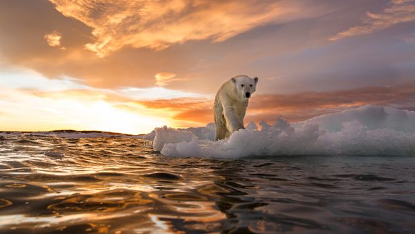
At the other end of the world, the North Pole, there is no landmass. Instead, the Arctic is covered in a layer of floating sea ice. Since Arctic sea ice generally grows and shrinks throughout the year, scientists measure changes in the ice each September, when the ice is at its smallest.
Satellite images show us that the Arctic ice is shrinking by 12.6 percent per decade. Ice age is another helpful metric for tracking climate change. In 1958, Arctic sea ice was predominantly older, thicker ice. Today, the ice is younger and thinner, with over 70 percent of Arctic sea ice now considered "seasonal," meaning the ice melts and returns each year.
There is a significant amount of ice covering Greenland. If the Greenland ice sheet melted, it would add another 7 meters (20 feet) to the oceans if it melted. Because Greenland is closer to the equator than Antarctica, the temperatures there are higher, so the ice is more likely to melt. According to NASA, Greenland is melting at a rate of 271 billion metric tons of ice lost per year.


