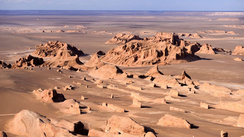
People tend to think of regions near the equator as being the hottest on Earth, and this is true to an extent. However, places near our North and South Poles can still occasionally reach extreme temperatures during the summer months.
In its orbit, the Earth is tilted at a 23-degree angle, compared to the sun's position, and this causes north and south extremes to get much more or much less sun, depending on the season.
On average, temperatures are still much hotter near the equator because its position relative to the sun changes less with the seasons. Climate change is also causing temperatures to trend upward all over the globe, affecting when and where record temps may be recorded.
When it comes to ranking the hottest place on Earth and climate extremes, keep in mind that the data and methods to measure data are ever-changing.
Terrain Matters
- Deserts, as you may expect, tend to be much hotter in the daytime than biomes near large bodies of water, thanks to their low relative humidity.
- Regular precipitation has a cooling effect on soil surface temperature
- Lush plant life helps shade the ground and pull heat-soaking greenhouse gasses from the surrounding air.
- Low-altitude valleys also tend to be much hotter than high-altitude mountains, due to an increase in air density as you get nearer to the pull of Earth's gravity.
Taking all these factors into account, meteorologists and researchers typically see the highest record temperatures and the highest average temps in locations which are situated near the equator and in flat, low altitude stretches of land.
Inversely, mountainous regions near the North and South Poles tend to be the coldest places on Earth.
How Air Temperature Is Measured
For hundreds of years, the only thing we had to empirically measure air temperature reading was a traditional thermometer, often filled with dangerous mercury.
Nowadays, weather stations run by groups like the World Meteorological Organization have access to measure surface and air temperatures accurately within a fraction of a degree.
The scientific community can also take advantage of satellite measurements. Infrared cameras that orbit high above the planet's surface are able to scan the entire surface of the land below them and track land skin temperatures all over the world.
This allows scientists to monitor temps in potentially dangerous areas without having to build a weather station or travel into dangerous environments like Furnace Creek in Death Valley.
Air Temperature vs. Surface Temperature
As its name suggests, air temperature is a measure of the heat contained within the air over a certain area. Surface temperature (AKA land skin temperature) is measured directly from the ground.
Since surfaces like dark stone or tarmac can become much hotter under exposure to the sun than the air in the same environment, there may be discrepancies of more than 30 degrees Fahrenheit between air and surface temps.
Air temperature is a more accurate data point than land skin temperatures to take when judging the hottest places on Earth, as land surface temperature will tend to vary wildly depending on the surface material and whether or not it is positioned in direct sunlight or in the shade.
That said, surface temperatures are still important to researchers because they help them to track available ground water and potential for plant cultivation in an area.
