How does James Bond guess the other guy's hand in a high-stakes game of poker? He looks for a tell, of course. Maybe Bond's opponent twitches when he has a strong hand or tenses when he bluffs. Either way, an observable physical expression gives Bond a clue as to what his opponent has in store. By properly reading a tell, a poker player can minimize his or her losses.
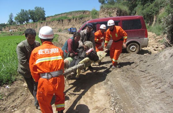
Much like Bond, scientists are trying to find Earth's "tell" when it comes to the looming question: Can earthquakes be predicted?
Advertisement
Just as meteorologists study the atmosphere to forecast the weather, seismologists are on a quest to predict earthquakes. And while we can forecast a hurricane's path days in advance, an accurate earthquake forecast remains, for now, a shaky affair.